Hiking Map
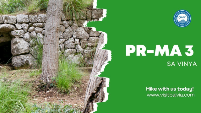
Hiking Route 3
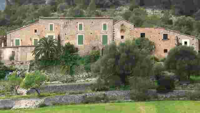
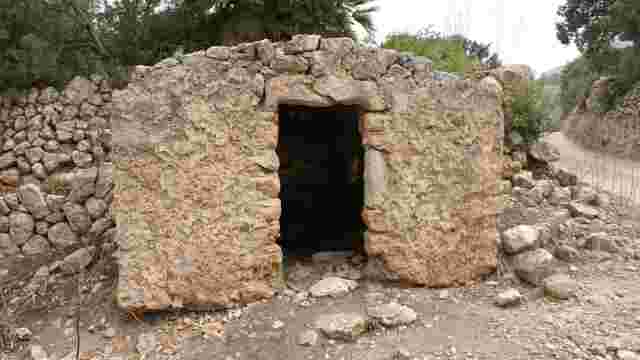
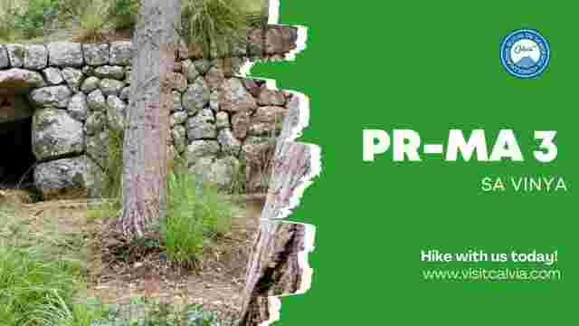
A route located in the south-west of the Galatzó Public Estate, which formerly connected the houses of the estate with an agricultural area known as Sa Vinya, on the border with the neighbouring estate of s’Alqueria. The route passes through agricultural landscapes typical of a mountain estate, where valuable ethnographic sites linked to farming, livestock rearing and forestry are preserved. Along the way, notable sites include Es Tramuntanal, Font des Obis and Sa Vinya, where you can see terraced fields, ancient water systems, charcoal kilns, farm huts and even a bread oven, bearing witness to the traditional uses of the land. The route also holds significant archaeological value, featuring three Talayotic-era sites that demonstrate the various forms of settlement in the area during this historical period. From a natural perspective, the route allows you to enjoy the flora and fauna characteristic of the Serra de Tramuntana, with notable sightings of the Mallorcan goat and the booted eagle, in a landscape that alternates between holm oak groves, pine forests and scrubland. The route reaches a maximum altitude of 345 metres, from where there are magnificent views of the farmlands of the estate and the mountainous surroundings, with the imposing peaks of Puig de Galatzó and Mola de s’Esclop framing the Galatzó valley.